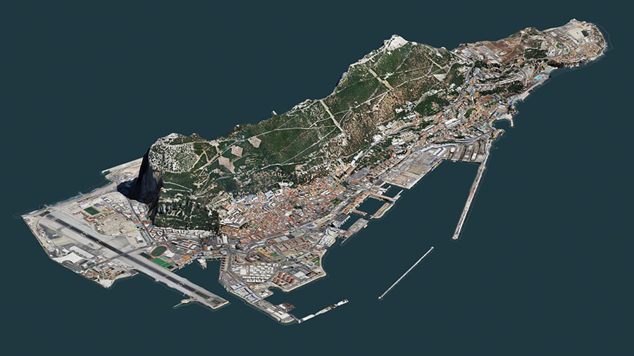
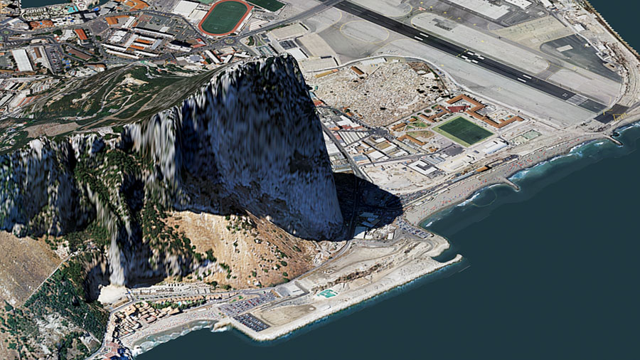
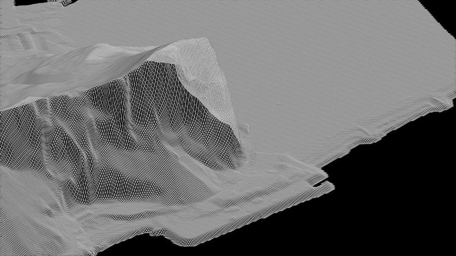
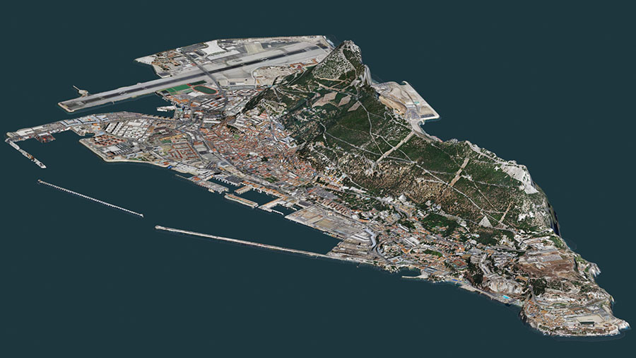
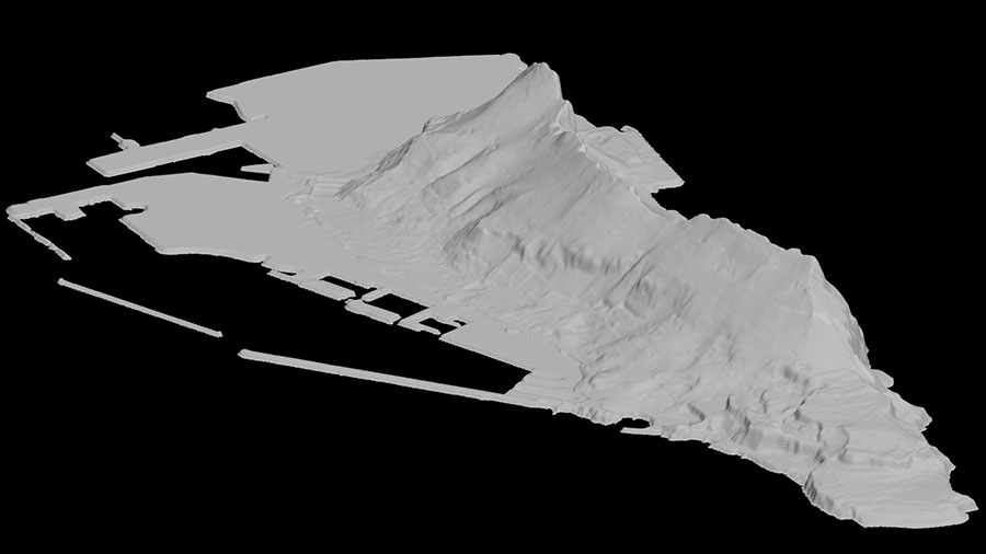
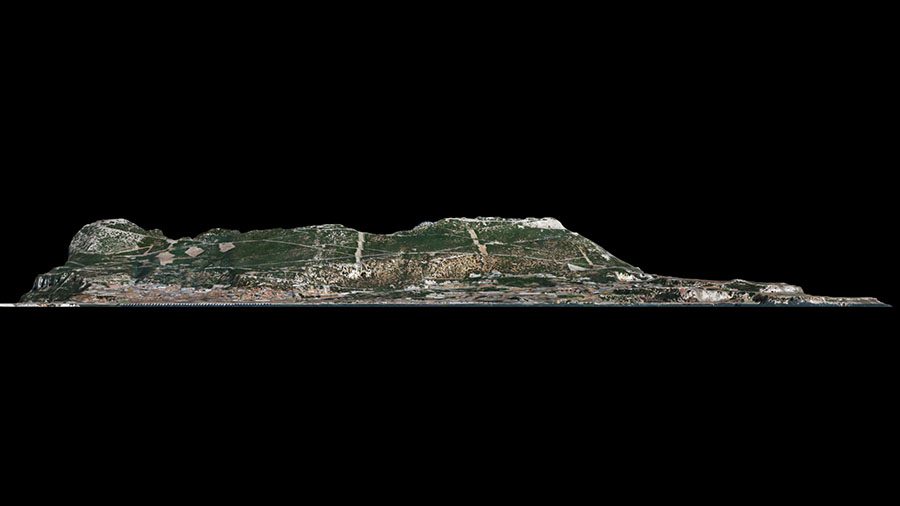
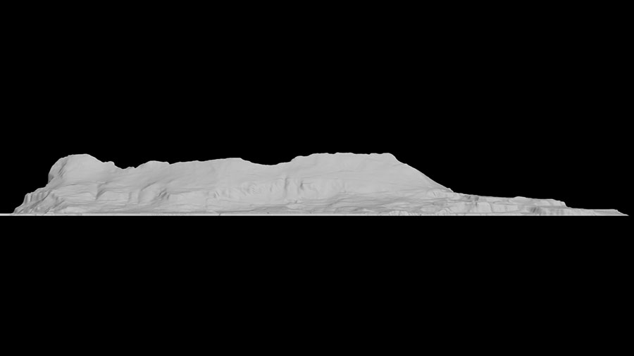
Constructed from GIS contour elevation data from different data sources combined and enhanced with different filters and erosion techniques to produce a real world style likeness.
Terrain tiles have been stitched to produce a single seamless low res model which provides a scale accuracy of about 1:1m and detail accuracy of about 20-40m.
In numerous areas the model has been adjusted by hand to increase accuracy.
Should be possible to overlay/project realworld GPS coords using WGS84.
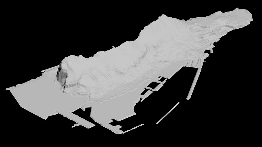
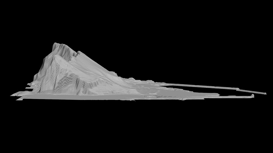
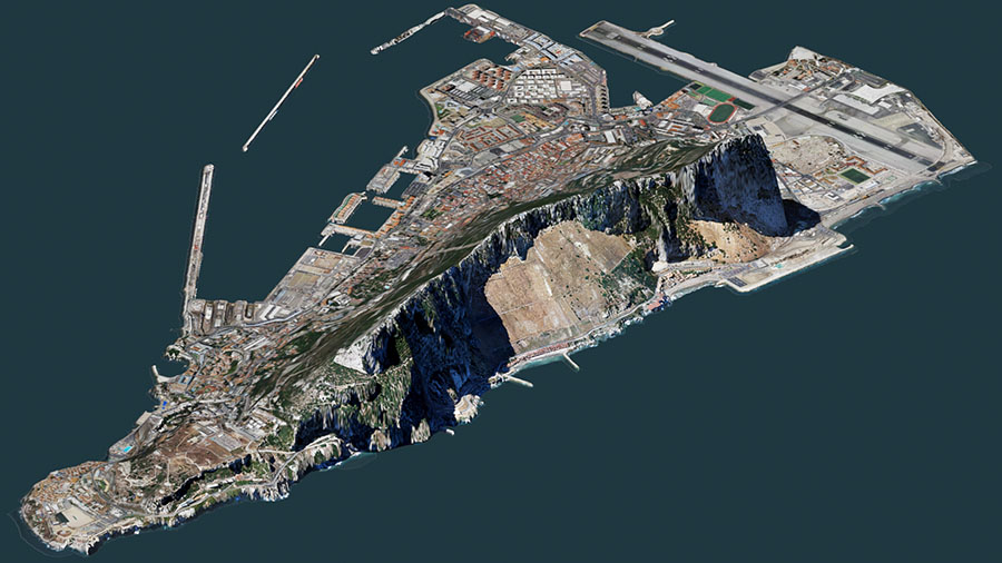
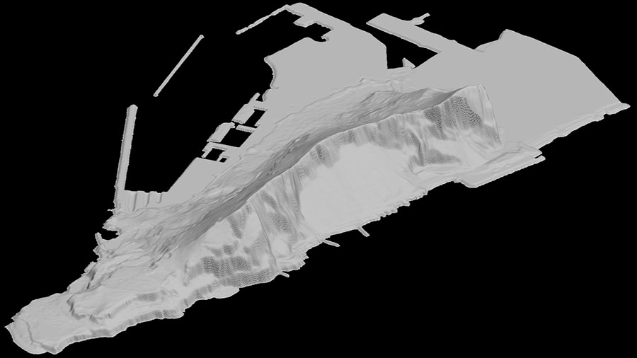
All geometry under water has been removed to improve frame rates.
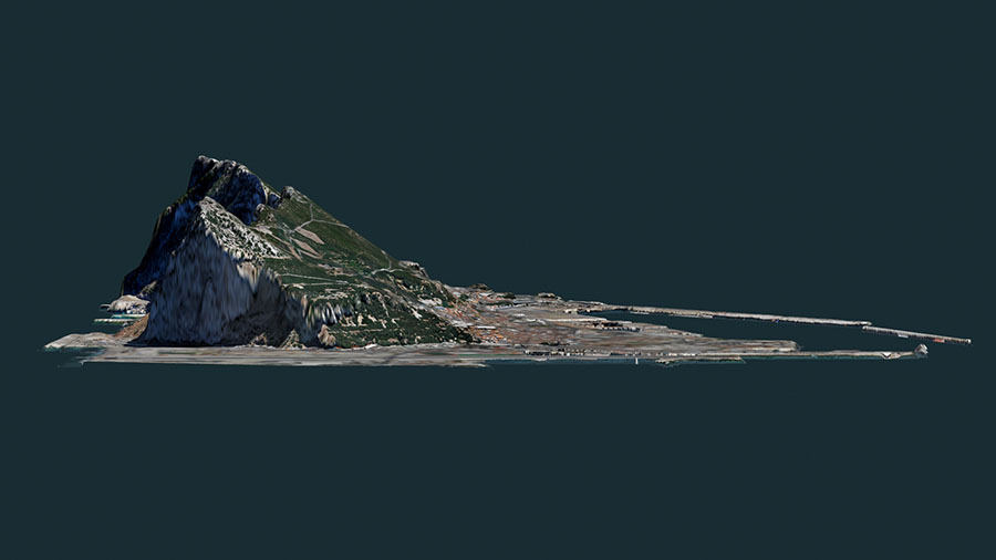
Suitable for simulation of walk throughs and navigation, 3D presentations, landscaping and Architectural Visualisation. and general gaming.
This Terrain model does not include any buildings, trees or any other similar features - only the terrain model is included.
This model is now available at Turbosquid.